The Department of Applied Ecology welcomes students, collaborators, and colleagues regardless of race, religion, gender identification, sexual orientation, age or disability status. The more diverse our department is the better we are; only diverse research teams are capable of solving the global environmental challenges faced by a diverse society. We are committed to self-evaluation, encouraging ongoing conversations and building an inclusive community, and have programs in place to produce meaningful outcomes. We also believe that actions speak louder than words, and we hope that you will be a part of our process to identify and undo structural racism in our institutions and research fields, and our progress towards anti-racism and equality.
Ecosystem Experts
Advancing and sharing fundamental and novel discoveries in ecology and applying them to the greatest environmental challenges.
Understanding Our Planet
Working at the intersection of basic and applied life sciences, our researchers utilize ecological approaches to solve local and global environmental challenges.
Our topics of interest and levels of analysis range from single species mechanisms to ecosystem-wide fundamentals. Whether studying sunflower pollen to entire landscape functions, we are passionate about understanding the living world in order to serve the greater good. Together, we advance and share fundamental and novel discoveries in ecology and apply them to our greatest environmental challenges.
Learn MoreRead our strategic plan

Our 2019-2024 plan outlines three goals that collectively further our mission.
55,000+ Citations
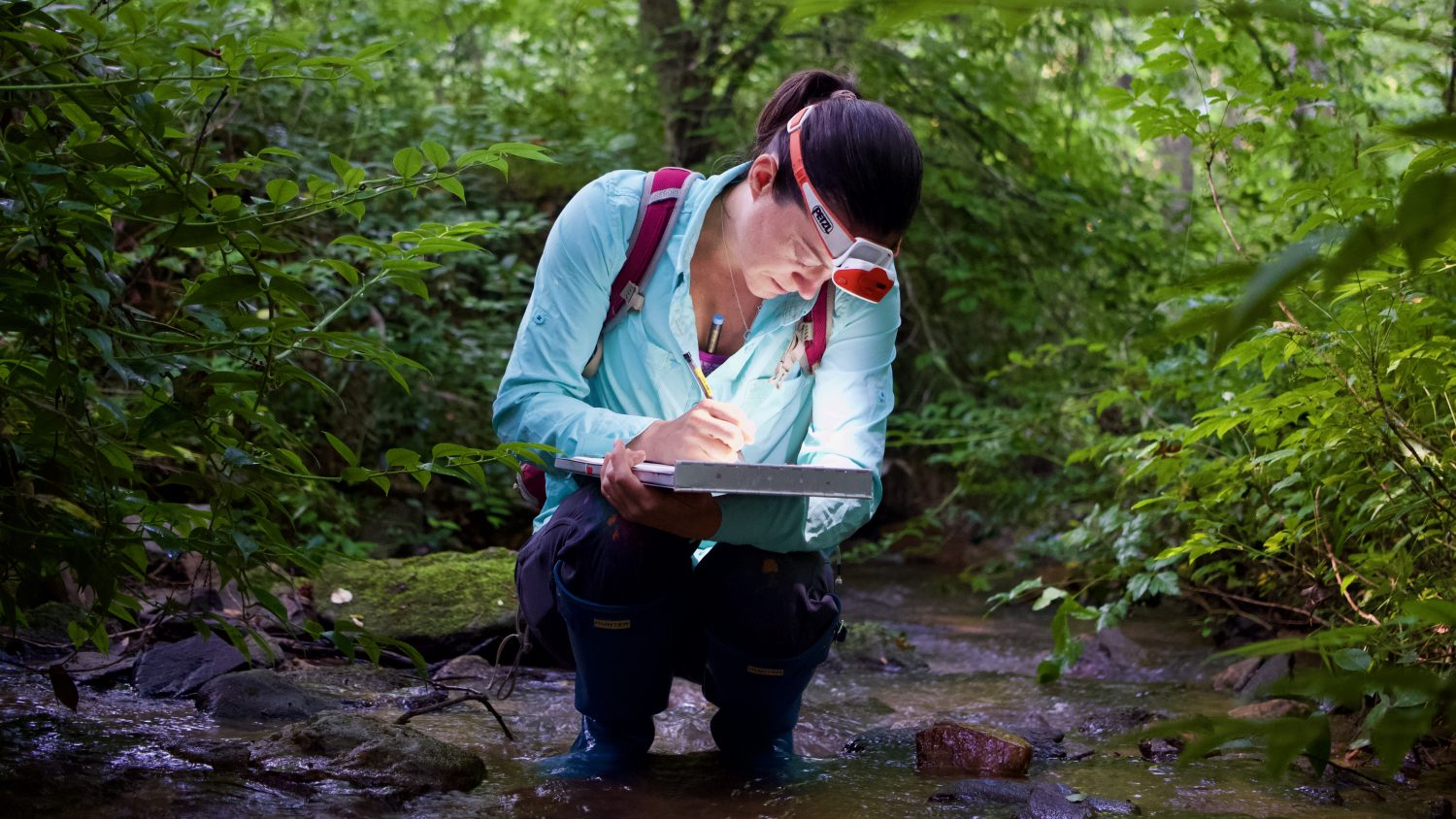
Our team aquatic research, entomology, fisheries, and theoretical ecology publications contribute to global environmental change.
Browse our LibraryPreparing Leaders
Our students get first-hand experiences that make our alumni top influencers in research, management, and education.
Explore Student PathwaysCultivating Collaboration
We work in partnership with research sites and programs across North Carolina, the United States, and the world.
Find A Program